Tools and Resources

NEOSCC’s vision is to help Northeast Ohio move toward a future that is more vibrant, resilient and sustainable.   Two of the critical factors for success of the Vibrant NEO 2040 initiative will be to spur action and equip decision makers, planners, experts and residents with tools to implement.

We will be constantly updating this page with tools that NEOSCC has developed for both professionals and non-professionals that can be used to better understand the Northeast Ohio, help plan Northeast Ohio’s future, and help make Northeast Ohio more sustainable.

You are encouraged to submit suggestions about these tools as well as submit ideas for additions to the toolkit.


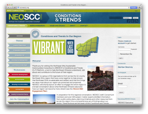
Conditions and Trends Platform


NEOSCC’s Conditions and Trends Platform is a first-of-its-kind, online collection of information, data and maps that can be used to answer questions about Northeast Ohio and how its different pieces fit together. The Conditions and Trends Platform’s purpose is to help provide insight into Northeast Ohio’s future by giving us a tool that all of us can use to better understand Northeast Ohio’s yesterday and it’s today.


NEO General Zoning Map

NEOSCC has created a parcel-based zoning map for the 12-county Northeast Ohio region from the most current information supplied by each of the 393 jurisdictions in the region. This map can be scaled to the size of individual communities and counties and can be filtered to show in clear detail the location of specific zoning classifications, such as residential, industrial, commercial, and agriculture.  The GIS data behind the maps is included by county and each file contains the local zoning, local land use, NEOSCC zoning and NEOSCC land use codes.


NEO Land-Use Map

As part of the Vibrant NEO 2040 initiative, NEOSCC has completed the first-ever existing land use map for the 12-county region. This parcel-based map was built on detailed real estate information provided by the region’s 12 County Auditors and County Fiscal Officers. This map can be scaled to the size of individual communities and counties and can be filtered to show in clear detail the location specific land uses, such as industrial, commercial and park land.  Because it is based on current real estate data, this map provides a real-time picture of vacant urbanized land throughout the region.


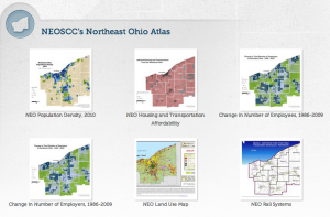
NEO Map Atlas

As part of the effort to develop its Conditions and Trends Platform, NEOSCC created more than 50 different maps of the region that illustrate data about Northeast Ohio’s economy, housing, transportation, population, environment, health and other factors.  These different maps have been pulled together to create the NEO Ohio Map Atlas.


NEO Asset Map

Everyone who lives here has their own idea Northeast Ohio’s most important assets. NEOSCC has been working to go beyond personal opinion by cataloging, mapping, and quantifying the impact of Northeast Ohio’s regional and local assets.


NEO Planning Initiatives Library

NEOSCC has collected links to more than 200 community plans and planning initiatives from communities across Northeast Ohio.  The documents from these initiatives can be viewed individually or you can use our search function to find references to your community or to issues you care about.