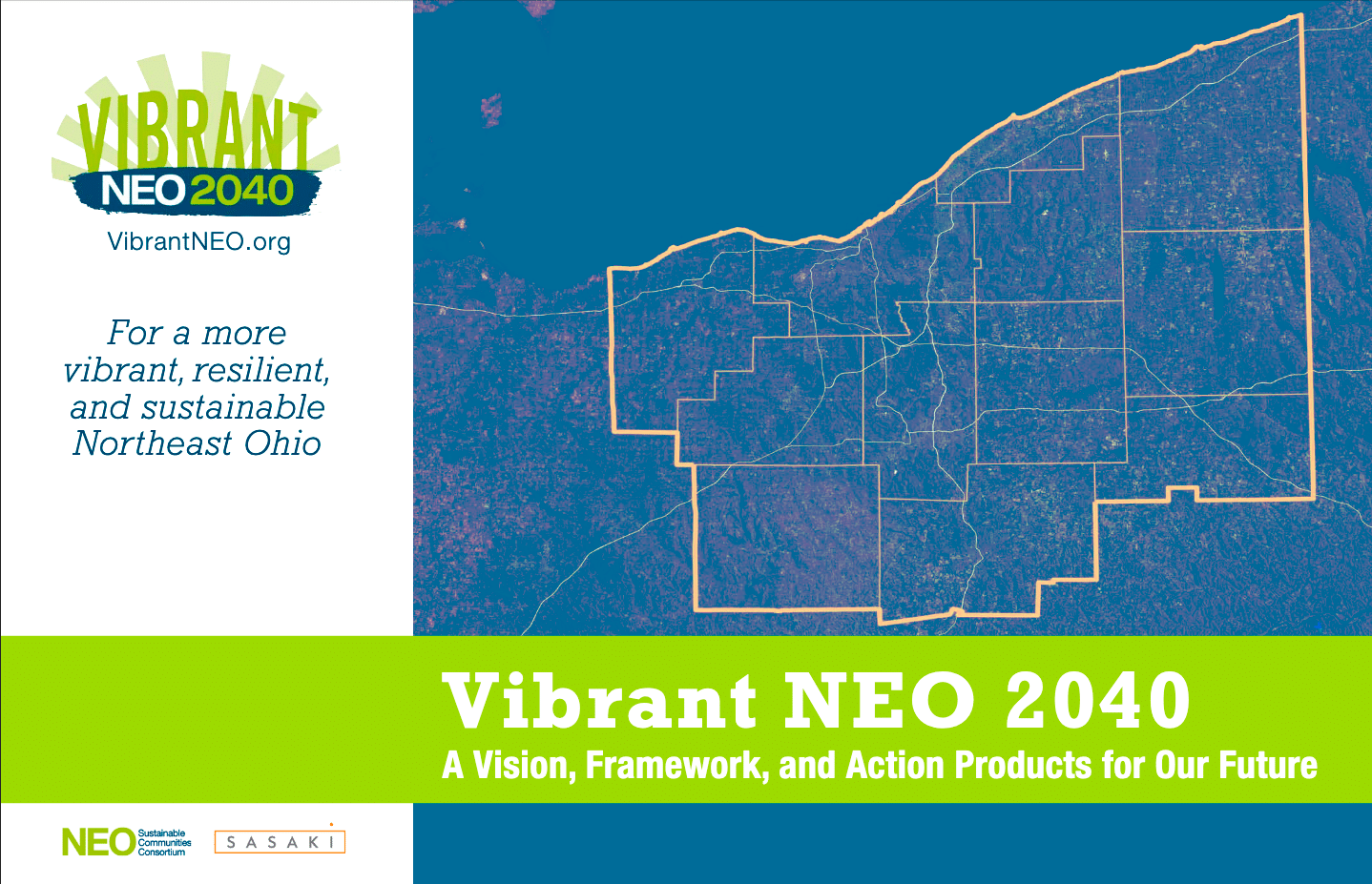
VIBRANTNEO 2040
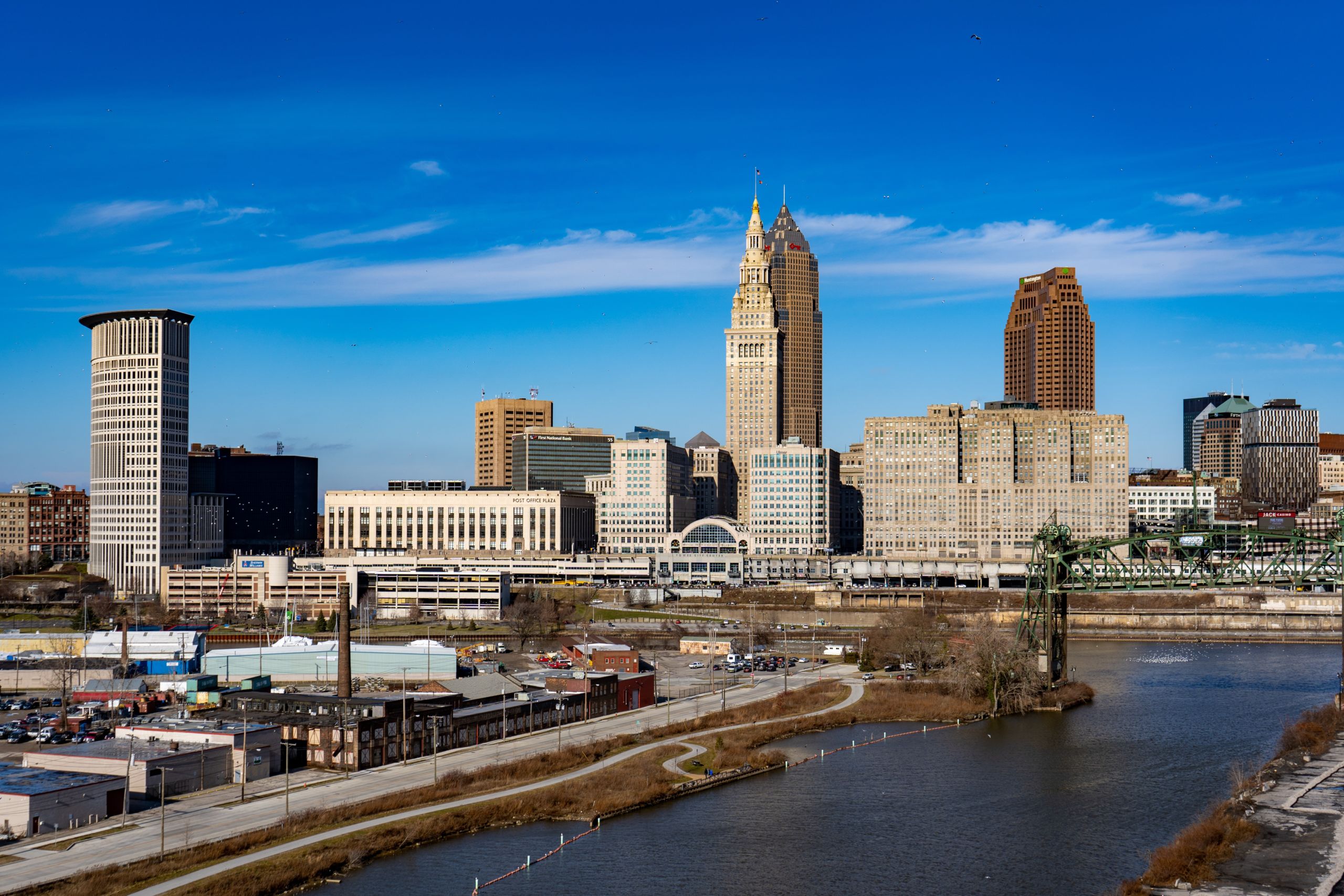
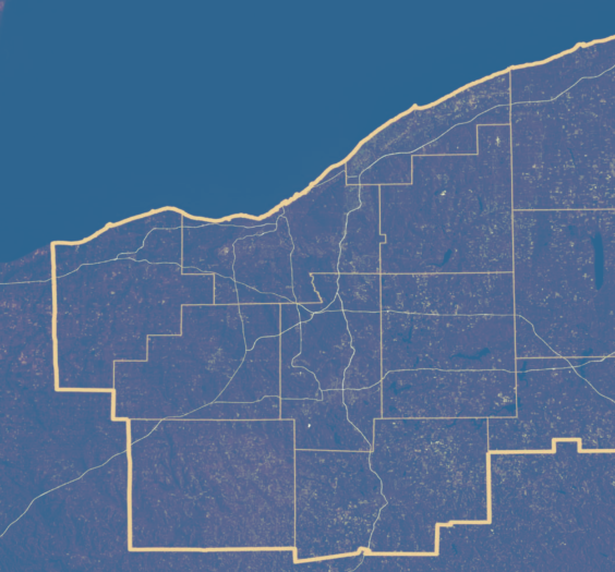
A VISION AND FRAMEWORK FOR THE FUTURE OF NORTHEAST OHIO

FULL REPORT NOW AVAILABLE
WATCH VIBRANT NEO: A VISION AND FRAMEWORK FOR THE FUTURE OF NORTHEAST OHIO
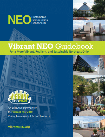
THE VIBRANT NEO GUIDEBOOK
We have developed an executive summary of the Vision, Framework and Action Products. The Vibrant NEO Guidebook describes the Process, Objectives, Recommendations, Priority Initiatives and Indicators. The document include maps of each of the major vision themes and summaries of the Action Products.
LATEST NEWS FROM THE BLOG
Wouldn’t it be nice to know what the roads are like before you leave your home? Now you can thanks to the people at the Ohio Department of Transportation. Buckeye Traffic (www.buckeyetraffic.org) provides Ohio travelers with up-to-date information on road conditions, traffic, construction, and other activity affecting roadways managed by The Ohio Department of Transportation (ODOT). Information provided by this site is updated frequently and comes from a variety of sources, such as pavement sensors and monitoring stations, traffic cameras, and through direct input by ODOT personnel. Whereas the information in this site is kept accurate and up-to-date as possible, Ohio travelers should refer to local and regional information outlets and agencies for the latest information during weather/disaster emergencies. This site is maintained by ODOT. What Can I do today? Act: Participate in the NEOSCC Fair Housing Survey Act: Learn about the Akron Zero Landfill event on February 2 Act:…
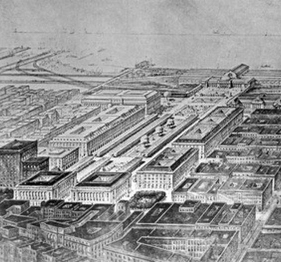
In the mid-19th century, industry flourished around the Morris Canal in Jersey City, New Jersey. As transportation technology improved, the canal was filled in and used as a corridor for freight rail and heavy trucks, which led to the establishment of more intensive industries and neighborhoods for workers in the area. By the mid-20th century, however, many industries had abandoned the city, leaving the areas near the canal with obsolete buildings, contaminated soil, and deteriorated neighborhoods. To address the neighborhood decline, Jersey City created the Canal Crossing Redevelopment Area and, in 2009, approved the Canal Crossing Redevelopment Plan. The plan calls for the 111-acre area to be redeveloped as a mixed-use, mixed-income, transit-oriented community designed in accordance with smart growth, new urbanism, and green building principles. The Jersey City Redevelopment Agency (JCRA) took a major step toward achieving the plan’s goals when it was awarded almost $2.3 million in a joint…
Over the next 6 months, Cleveland’s Bike Share Task Force will be taking a look at the feasibility of bike sharing and reviewing recommended business models for operating a system in the city. Building off of recent momentum in cycling and complete and green streets, the Mayor’s Office of Sustainability issued a Request for Proposals in autumn 2012 and has contracted with Toole Design Group (TDG) as the lead consultant for this project. Bike Share Task Force: In anticipation of the feasibility study, the Bike Share Task Force formed to provide a platform to advise the project and to assist with stakeholder engagement. The Bike Share Task Force consists of representatives from many organizations who see the potential benefits of bike sharing in Cleveland: Mayor’s Office of Sustainability ClevelandCity Planning GreenCityBlueLake Institute Bike Cleveland Greater Cleveland Regional Transit Authority Cleveland City Planning Commission Positively Cleveland Midtown Cleveland Ohio City Inc. Downtown Cleveland Alliance/Cleveland Bike Rack…