VIBRANTNEO 2040

A VISION AND FRAMEWORK FOR THE FUTURE OF NORTHEAST OHIO

Slide Slide VIBRANT NEO 2040 A Vision and Framework for the Future of Northeast Ohio

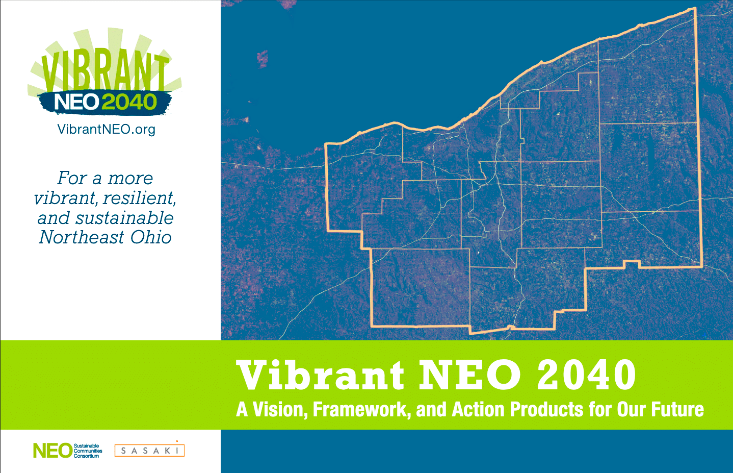
FULL REPORT NOW AVAILABLE

WATCH VIBRANT NEO: A VISION AND FRAMEWORK FOR THE FUTURE OF NORTHEAST OHIO

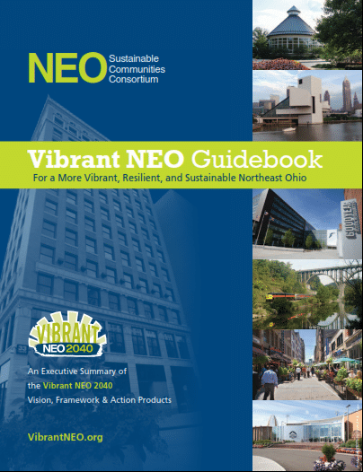
THE VIBRANT NEO GUIDEBOOK

We have developed an executive summary of the Vision, Framework and Action Products. The Vibrant NEO Guidebook describes the Process, Objectives, Recommendations, Priority Initiatives and Indicators.  The document include maps of each of the major vision themes and summaries of the Action Products.

LATEST NEWS FROM THE BLOG

05 Apr: Now More Than Ever: Regional Collaboration During Covid and Beyond

The coronavirus pandemic has forced us all to do more with less as government revenues have been reduced. Even before the pandemic though, Northeast Ohio was struggling with declining population and aging infrastructure. With current trends as of 2010, Vibrant NEO predicted that all 12 counties of Northeast Ohio would be in a worse fiscal position by 2040, with expenses exceeding revenues. To keep this from happening, one of the four key Vibrant NEO themes is “promoting collaboration and efficiency”. Working across political boundaries can help reduce costs, stabilize budgets, and improve quality of life. On April 1st, 2021, Vibrant NEO hosted a panel discussion with four elected officials, learn how they are doing just that. Bringing their years of insight were: Robert A. Fiala, Willoughby Mayor and Safety Director Jim Hockaday, Conneaut City Manager Dennis Morley, Eastlake Mayor and Safety Director Rich Regovich, Willowick Mayor and Safety Director Michelle…

14 Jan: Vibrant NEO 2040 County Reports

In 2010, leaders representing a 12-county region of Northeast Ohio recognized that our communities’ futures are intertwined and concluded that the region could be more successful if we work together to anticipate, prepare for, and build our future. The Northeast Ohio Sustainable Communities Consortium (NEOSCC) was created to determine how to achieve this goal. NEOSCC’s assignment was not to “plan” the future of Northeast Ohio—those are decisions for the leaders and residents of Northeast Ohio’s communities to make. In broad terms, NEOSCC was created to answer three questions: What course is northeast Ohio on? What future does northeast Ohio want for itself? How do we make that future a reality? Over a three year period, each of the 12-counties participating in the NEOSCC effort collected extensive amounts of data, prepared maps and conducted public engagement. The county-level data was then aggregated into a regional framework report, Vibrant NEO 2040 –…

23 Apr: APA Awards Vibrant NEO the Daniel Burnham Award

Northeast Ohio’s biggest regional planning effort in a half-century has won the planning profession’s top award for a comprehensive plan. Vibrant NEO 2040, the product of three years’ work by the nonprofit Northeast Ohio Sustainable Communities Consortium, has been awarded the 2015 Daniel Burnham Award of the American Planning Association. “It feels terrific,” Grace Gallucci, director of NOACA, the Northeast Ohio Areawide Coordinating Agency and one of the plan’s lead organizers, said about the award. “I think it helps to validate the work that NEOSCC did over the last three years . . . to say that it’s a good plan,” she said. The award is named for Chicago architect Daniel Burnham, who planned Chicago’s world-famous lakefront and also devised influential plans for other American cities, including Cleveland’s 1903 Group Plan. Gallucci said she hoped the award would add impetus to the implementation of the Vibrant NEO vision, which calls for focusing new…

27 Jan: AMATS Releases Mid-Block Crossing Analysis

The Akron Metropolitan Area Transportation Study’s (AMATS) recently completed Mid-Block Crossing Analysis is a first-of-its kind effort by the agency to identify locations where mid-block pedestrian crossings are occurring or are likely to occur throughout the Greater Akron area.  By identifying these locations, area communities can determine where pedestrian safety improvements may be needed.   This analysis won’t be the last-of-its-kind either, according to AMATS officials.  It’s the first in a series of similar efforts to foster a new planning synergy for the region that combines new planning and design strategies for a single purpose: To improve the area’s quality of life.   Many of the locations identified in the analysis are informal crossing points at roads and streets that aren’t marked as crossings.  People prefer to cross illegally at these points rather than walk to the safety of the nearest available crosswalk.  Many do so with no problem while…

08 May: Fund releases “What Matters to Metros” Report

Economic research plays an essential role in guiding the work of the Fund Fund for Our Economic Future, and helps them identify what matters and other key priorities in their work to advance a growing, opportunity-rich economy for the people of Northeast Ohio.   What Matters to Metros™: Foundational Indicators for Economic Competitiveness helps community leaders identify factors that are associated with economic growth in mid-sized U.S. metropolitan areas in a post-recession economy. Download the Fund’s report and its appendices. This work builds upon six previous iterations (called the Dashboard of Economic Indicators) and assesses the relationship of 55 variables to economic growth across four measures: per capita income, gross metropolitan product (GMP), productivity and employment, between 1990 and 2011. Together, higher education and innovation remain critical ingredients for prosperous, productive communities that generate higher incomes, but are not associated with overall job growth over the period. Many metros that experienced high levels of employment growth…

07 May: Mahoning River Corridor Initiative

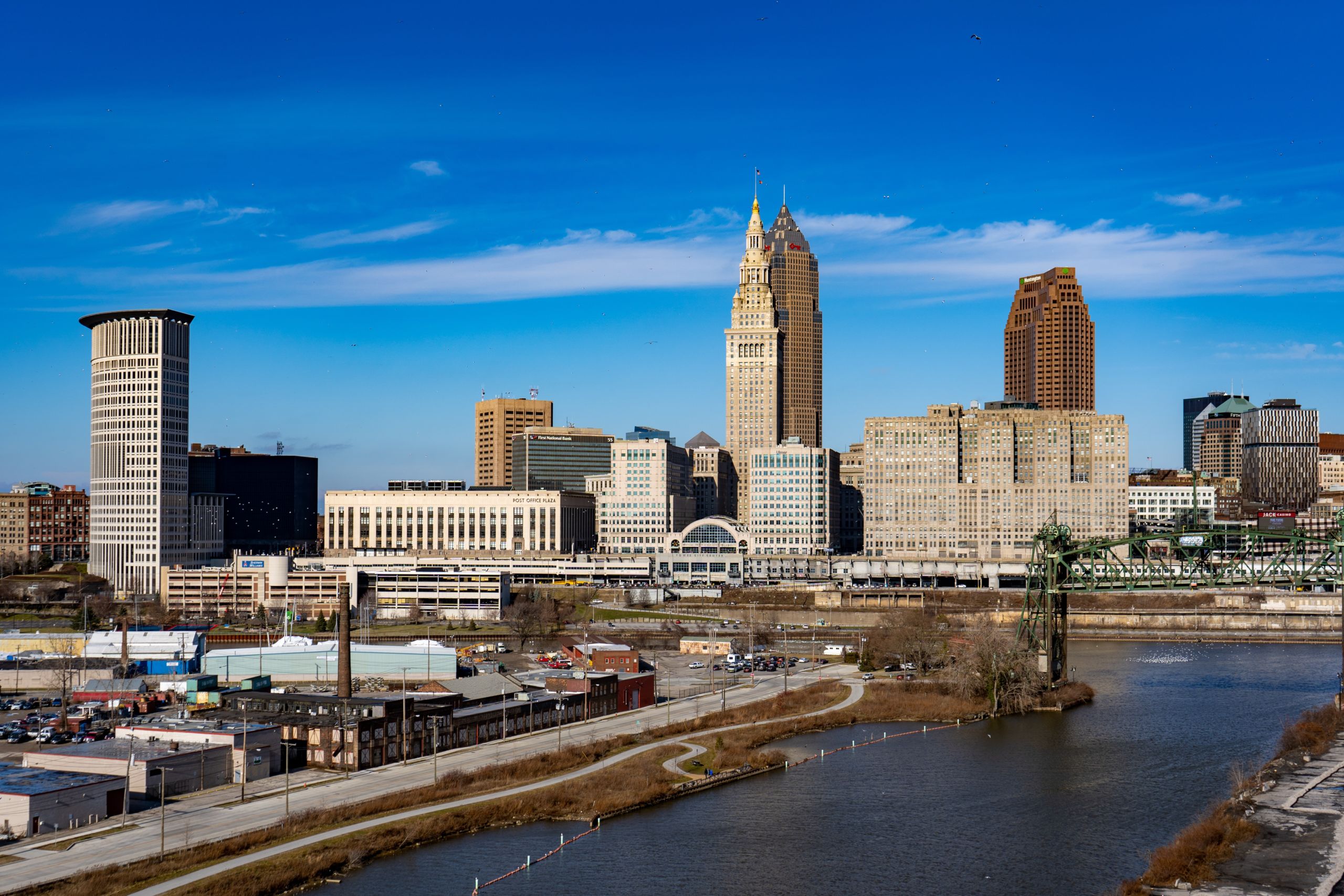
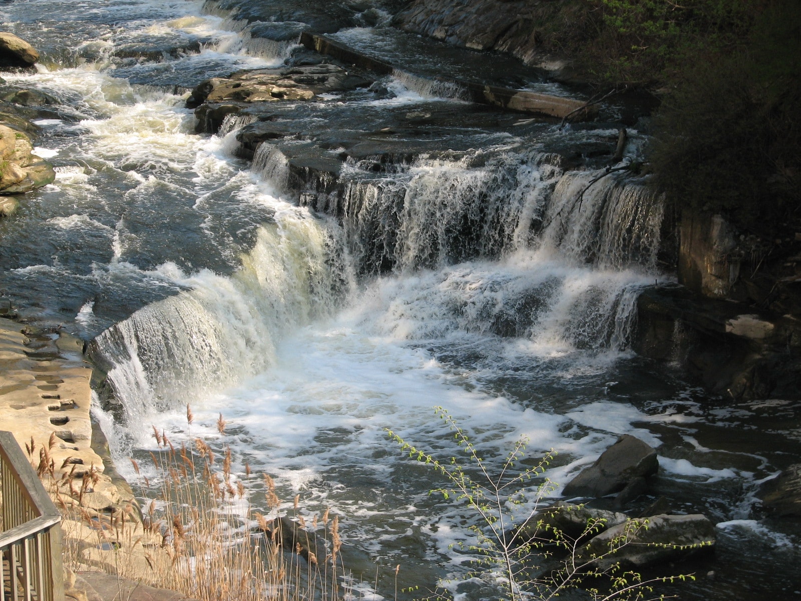
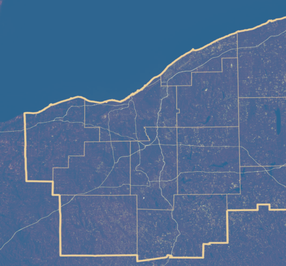
The Mahoning River flows through the eastern portion of the NEOSCC planning area before it eventually empties into the Ohio River in Pennsylvania. The Mahoning River was once considered the heart of the steel industry in the United States, where industrial development grew the cities of Youngstown, Warren, Newton Falls, Struthers and many others along its winding path. Commonly known as “The Valley,” this region experienced massive hemorrhaging of industrial and manufacturing jobs in the 1970s and 1980s. The result was population decline and disinvestment in traditional neighborhoods and urban centers that continues today. Additionally, the environmental impact of the industry in The Valley has made the Mahoning River infamous. The river is the only surface water body in Northeast Ohio where the Ohio Environmental Protection Agency (Ohio EPA) has labeled its waters unfit for human contact from Warren to the Pennsylvania state line. More detailed information on the latest…

06 May: Imagine MyNEO! Teaser: Survey Results from EarthFest 2013

NEOSCC is proud to have participated in this year’s new and improved EarthFest, hosted by Earth Day Coalition at the Cuyahoga County Fairgrounds. As part of our exhibition at EarthFest, we hosted a short three-question survey that previewed some of the decisions Northeast Ohio residents will be faced with in our upcoming online game focused on scenario planning.  This Summer, NEOSCC will be launching an on-line engagement tool entitled Imagine MyNEO! that is based on an the open source software, Crowd Gauge. Imagine MyNEO! will allow the entire region to share their priorities with the Vibrant NEO process. In this survey, participants were first asked to describe the community they live in as urban, suburban, or rural. Next, they were prompted to identify up to three sustainability issues that they feel are important for the region. Lastly, they were asked to select what kind of Northeast Ohio they would like to live in, based…

NEOSCC and Vibrant NEO 2040 are largely funded by a highly competitive, first-of-its kind, $4.25M federal grant from the U.S. Department of Housing and Urban Development (HUD) as part of the Partnership for Sustainable Communities Initiative. The Sustainable Communities Initiative is an interagency collaboration among HUD, the U.S. Department of Transportation, and the U.S. Environmental Protection Agency.